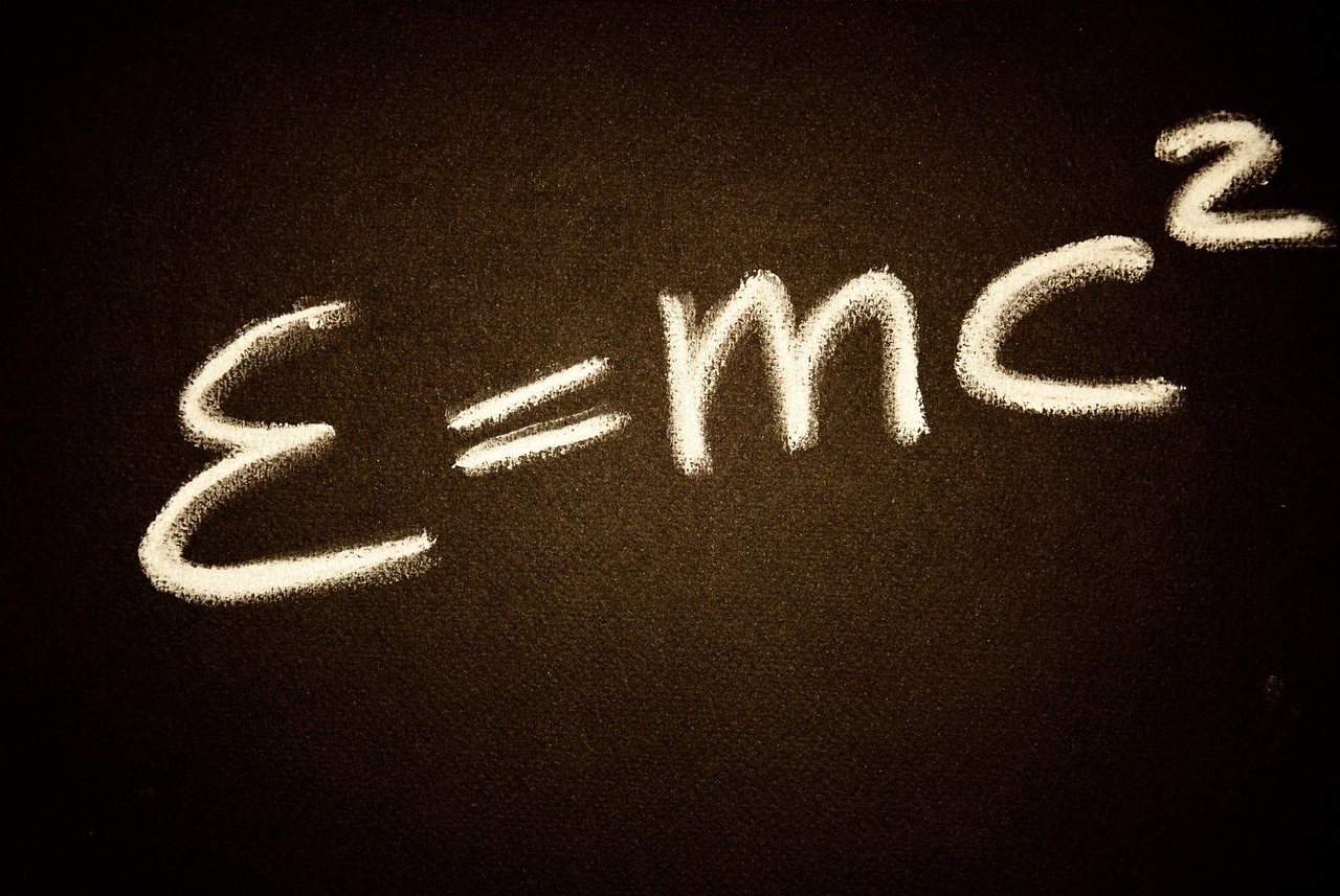
Your phone’s blue location dot depends on Einstein’s relativity. Not as a philosophical flourish, but as a routine engineering requirement: without corrections based on relativity, the clocks aboard GPS satellites would fall out of step with clocks on Earth, and navigation errors would grow to roughly 10 kilometers in a day.
That result is startling because GPS feels ordinary. It helps drivers find an address, gives emergency services a location, timestamps financial and communication networks, guides aircraft and ships, and supports surveying, farming and scientific measurement. Yet beneath these familiar uses is an unusually direct partnership between advanced physics and public infrastructure.
The essential point is simple: GPS measures time with extraordinary precision. And time does not pass at exactly the same rate for every clock. According to Einstein’s theories, motion changes a clock’s rate, and so does gravity. GPS satellites are both moving rapidly and orbiting far above most of Earth’s gravity. Those two conditions pull their clocks in opposite directions. The system works because its designers account for both.
GPS is a time-measurement system disguised as a map
It is tempting to picture GPS as a set of satellites looking down and identifying a phone’s location. That is not how it works. A GPS receiver, whether it is in a smartphone, car, aircraft or surveying instrument, listens for radio signals sent by satellites. Each signal carries information about the time it was transmitted and the satellite’s calculated position in orbit.
The receiver compares the transmission time with the time it receives the signal. Since radio waves travel at the speed of light, the difference tells the receiver how far away that satellite was when it sent the message.
This is often called trilateration. A receiver uses its estimated distances from several satellites to determine where it must be. In an idealized explanation, three distance measurements can locate a point in three-dimensional space. In practical GPS, a receiver normally needs signals from at least four satellites because its own inexpensive internal clock is not synchronized perfectly with the satellites’ atomic clocks. The fourth measurement lets it solve for both position and its clock error.
That clock error matters because light travels an enormous distance in a very small fraction of a second. A timing mistake of one microsecond—one millionth of a second—corresponds to about 300 meters of distance. Satellite navigation accuracy is therefore inseparable from precise timing.
Why satellite clocks are different
GPS satellites carry atomic clocks, whose frequencies are based on the predictable behavior of atoms. They are far more stable than the quartz clocks used in most consumer electronics. But even an excellent clock cannot escape the conditions described by relativity. A clock in orbit and a clock on Earth do not naturally tick at exactly the same rate.
Two effects matter most for GPS:
- Special relativity: a clock in motion relative to another observer runs more slowly.
- General relativity: a clock farther from a massive object, and therefore in weaker gravity, runs more quickly.
GPS satellites experience both. Their orbital motion makes their clocks slow slightly relative to clocks on Earth. Their altitude makes them run faster. The gravitational effect is larger, so the final result is a net gain in time for satellite clocks.
Special relativity makes moving satellite clocks run slow
Einstein’s special relativity, published in 1905, includes the idea now called time dilation. A clock moving relative to an observer will appear to run more slowly than a clock at rest with that observer. At everyday speeds the effect is far too small to notice. It becomes significant only when velocity is very high or measurements are extremely precise.
GPS satellites orbit at roughly 14,000 kilometers per hour relative to Earth’s surface. That is fast by human standards, though still tiny compared with the speed of light. The resulting special-relativistic effect causes a GPS satellite clock to lose about 7 microseconds per day compared with a suitable reference clock on Earth.
Seven microseconds does not sound consequential. But GPS does not need a clock error to become visibly dramatic before it matters. It converts timing into distance at light speed. Small systematic errors repeat continuously, and a system intended to provide positions on the scale of meters cannot tolerate them.
General relativity makes higher clocks run fast
General relativity, Einstein’s 1915 theory of gravity, offers the larger correction. In this framework, gravity is associated with the geometry of spacetime. One practical consequence is gravitational time dilation: clocks deeper in a gravitational field run more slowly than clocks at higher gravitational potential.
A GPS satellite orbits about 20,000 kilometers above Earth’s surface. At that altitude, Earth’s gravitational pull is weaker than it is at the ground. As a result, the satellite’s atomic clock runs faster than a comparable clock on Earth.
For GPS, this general-relativistic effect is about 45 microseconds per day. It more than outweighs the approximately 7-microsecond daily slowing caused by the satellite’s motion.
Motion makes GPS satellite clocks run slow; weaker gravity makes them run fast. The faster rate wins.
When the effects are combined, a GPS satellite clock would gain roughly 38 microseconds per day relative to a clock on Earth if engineers made no correction. The commonly cited value is about 38.5 microseconds daily, with the precise treatment depending on the reference frame and details of the system’s timing conventions.
How 38 microseconds becomes a navigation failure
A daily error of roughly 38 microseconds may sound like a rounding error in ordinary life. In navigation, it is enormous. Multiplying that timing difference by the speed of light gives a distance scale of more than 11 kilometers.
The exact effect on a receiver’s reported position is not always a simple one-to-one shift in a single direction. GPS positioning uses measurements from multiple satellites, and geometry affects how range errors become location errors. Still, the practical conclusion is clear: uncorrected relativistic clock drift would quickly render GPS unusable for precise navigation. A system designed to locate a receiver within meters would accumulate errors on the order of kilometers per day.
This is why the phrase GPS relativity describes something more concrete than a classroom example. Relativity is built into the performance budget of the system. It is not an optional refinement added after the basic technology works.
How GPS engineers account for relativity
The core correction is incorporated before a GPS satellite begins its working life. GPS satellite atomic clocks are set to run at a slightly lower frequency on the ground than the nominal system frequency. Once the clock is in orbit, the net effect of its velocity and weaker gravity brings it close to the rate needed for GPS system time.
The adjustment is extremely small: the relevant fractional frequency offset is about 4.465 parts in 10 billion. Yet that tiny change prevents the much larger accumulated error that would otherwise occur.
That initial design choice is not the whole story. GPS is a managed system, not a collection of isolated clocks. Ground control stations monitor satellites, estimate their clock behavior and orbital paths, and upload navigation data. Satellites broadcast clock-correction information that receivers use when calculating ranges.
Relativity also appears in the mathematical models used by the system. GPS satellites follow slightly elliptical rather than perfectly circular orbits. Their speed and distance from Earth change over an orbit, producing small periodic relativistic variations. Navigation messages and receiver calculations include corrections for these effects. Precise positioning applications can use still more detailed models.
The signal’s journey matters too
It is useful to distinguish clock effects from signal-propagation effects. The basic relativity problem concerns the differing rates of satellite and ground clocks. But a GPS signal also travels through Earth’s atmosphere, where it is delayed in ways that vary with conditions.
- The ionosphere contains charged particles that affect radio signals, particularly in ways that depend on frequency and solar activity.
- The troposphere, the lower atmosphere containing weather, humidity and pressure variation, also delays signals.
- Multipath occurs when signals reflect from buildings, terrain, water or other surfaces before reaching a receiver.
- Orbital and clock-estimation errors can affect the satellite position and time information used by the receiver.
- Receiver design and local conditions influence what signals can be acquired and how well they can be interpreted.
Modern receivers address these problems with a combination of broadcast corrections, signal-processing techniques, multiple satellite frequencies and, in some settings, augmentation services or local reference stations. Relativity is essential, but it is not the only source of error in satellite navigation accuracy.
Why a smartphone can use GPS without carrying an atomic clock
The satellite clocks must be extraordinarily stable because they provide the timing reference for a global system. A phone does not need the same hardware. Its internal clock may be inaccurate by comparison, but the receiver can estimate that inaccuracy when it solves for its position using signals from multiple satellites.
This is one of GPS’s elegant compromises. The expensive precision is concentrated in the satellites and the ground-control infrastructure. Receivers can use relatively modest clocks, sophisticated computation and redundant measurements to determine both where they are and how wrong their own timing is.
Phones also commonly use more than GPS. Depending on location, device and signal availability, they may receive other global navigation satellite system signals and combine them with Wi-Fi positioning, cellular information, inertial sensors and map data. The blue dot is often the result of sensor fusion rather than a single satellite measurement.
GPS is not alone: every satellite navigation system meets the same physics
The United States’ GPS is the best-known global navigation satellite system, but it is not the only one. Europe’s Galileo, Russia’s GLONASS and China’s BeiDou all rely on precisely timed radio signals from satellites. They operate with different architectures, orbital configurations, signals and time references, but none can avoid relativistic effects.
The details of the corrections vary because the systems have different orbits and engineering conventions. The physical principle does not. Any navigation system that infers distance from the travel time of signals moving near light speed must reckon with differences in clock rates caused by speed and gravity.
This extends beyond public navigation. Satellite timing supports telecommunications, electrical-grid operations, financial transactions and scientific instruments. In some cases, organizations use GPS primarily as a source of precise time rather than location. A disruption to satellite navigation can therefore have consequences far from a road map or delivery route.
Does GPS “prove” Einstein was right?
The popular statement that GPS proves relativity is useful shorthand, but it can obscure important distinctions. GPS is not a single, standalone experiment designed to test every aspect of Einstein’s theories. It is an operational technology built using physical models that include relativity, alongside extensive engineering, clock science, orbital mechanics and radio propagation theory.
What GPS does demonstrate in a powerful practical sense is that relativistic predictions are necessary at the precision the system requires. Engineers cannot build a reliable global satellite timing system by treating time as universal and identical everywhere. The corrections predicted by special and general relativity agree with the real behavior that must be accommodated.
Relativity has also been tested in many dedicated experiments involving atomic clocks, spacecraft, gravitational redshift and other phenomena. GPS belongs to that broader body of evidence, while also offering a particularly accessible example: a theory often regarded as abstract has consequences that can be measured in the operation of a navigation network.
The hidden infrastructure behind an everyday coordinate
GPS offers a broader lesson about technology. Many systems that feel effortless at the point of use depend on layers of knowledge and coordination that are almost invisible to users. A route on a screen rests on atomic clocks, orbital tracking, radio engineering, international standards, ground stations, mathematical models and a century-old revision of how physics describes time.
Einstein did not devise relativity to help someone find a café or guide a truck through a city. The theories emerged from questions about light, motion, gravity and the structure of the universe. Their role in GPS is a reminder that fundamental science can become practical in ways that are difficult to predict in advance.
Precision technology works when human systems make room for the world as it is, even when that world is counterintuitive. GPS works because its clocks do not pretend that time passes identically on Earth and in orbit. It works because engineers accept the mismatch, calculate it and correct for it—every day, for every signal, before the blue dot ever appears.
Image by PublicDomainPictures on Pixabay.